Publications
Kristin Miller White, Posters and Publications
White, K.M., 2007, Using Ground Penetrating Radar and Very Low Frequency study to
detect cold lava tubes (potential habitat for cave-adapted species), Hualalai Volcano,
North Kona, Hawaii, Hawaii Conservation Alliance, Leaders in Environmental
Management, Research, and Education Annual Meeting, Abstracts with Program,
Honolulu, Hawaii.
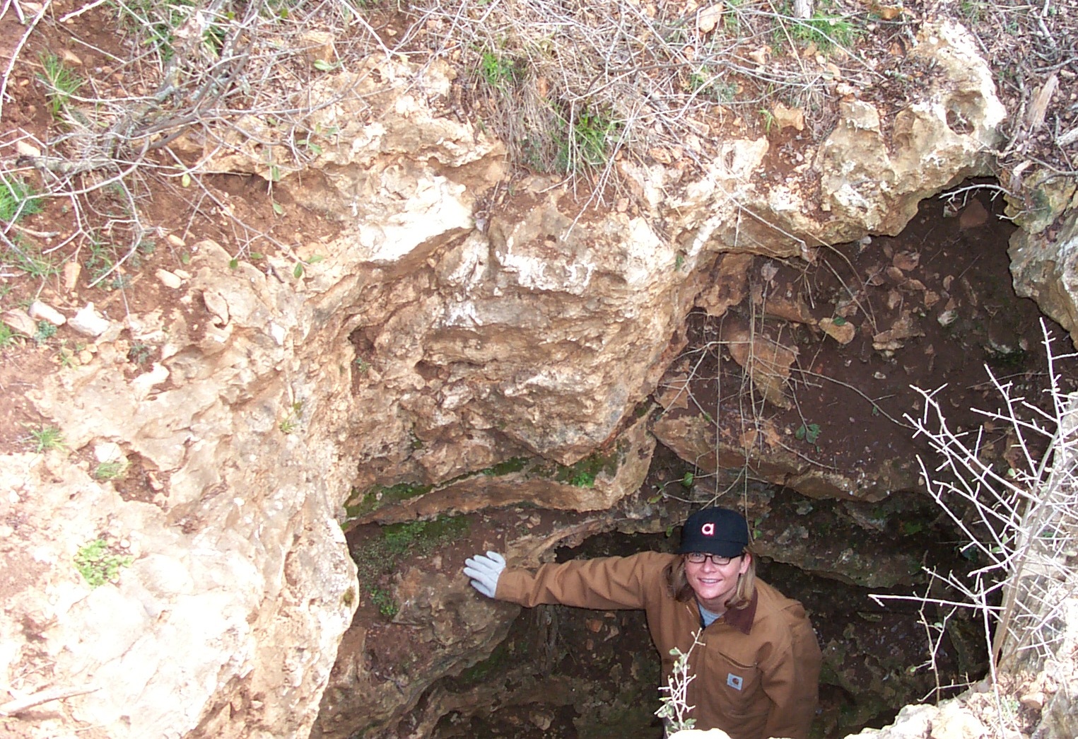
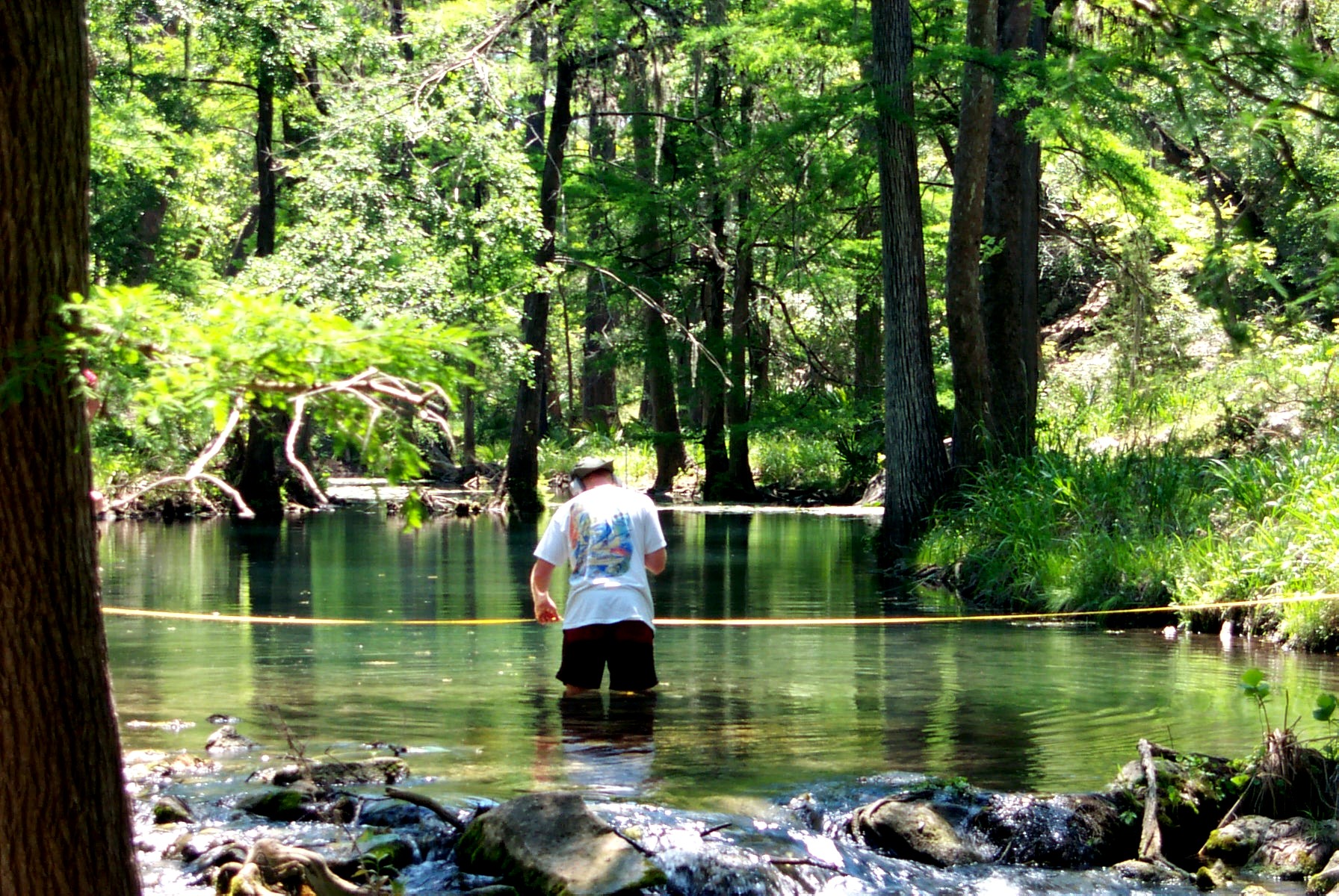
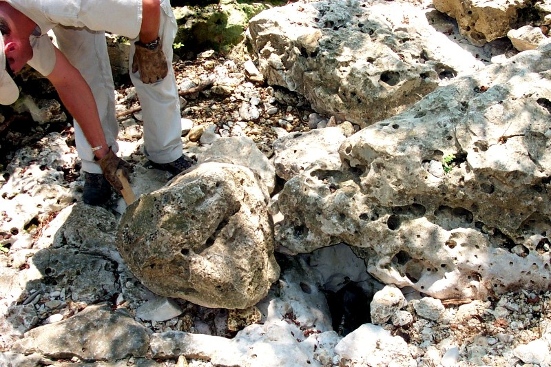
White, K.M. and Sharp, J.M., Jr., Ph.D., 2005, Comparison of Longitudinal Profile
Distribution of Knickpoints, Caves, Springs, and Fractures to Evaluate Groundwater
Sapping, Middle Trinity Aquifer, Honey Creek Basin, Comal and Kendall Counties,
Texas. Geological Society of America Abstracts with Programs, Annual Meeting,
presented poster at South-Central Section, GSA Annual Meeting, San Antonio, Texas.
White, K. M., 2005, Hydrostratigraphic and structural controls on spring and groundwater
sapping at Honey Creek State Natural Area, Middle Trinity Aquifer, Spring Branch,
Comal County, Texas, Graduate Thesis, Advisor: John M. Sharp, Jr., Ph.D., The
University of Texas Jackson School of Geosciences
White, K.M. and Sharp, J.M., Jr., Ph.D., November 2003, Evaluation of groundwater
sapping, using erosion pins and field observations of fractures, karst features, streams,
and springs, Geological Society of America Abstracts with Programs, presented paper at
GSA National Annual Meeting, Seattle, Washington.
White, K.M. and Sharp, J.M., Jr., Ph.D., February 2003, Using ArcView GIS and
groundwater chemistry modeling to evaluate evidence of spring sapping and stream
piracy, Honey Creek Basin, Comal County, Texas, Geological Society of America
Abstracts with Programs, Vol. 35, No. 1, presented paper at GSA
Southeastern/South-Central Joint Annual Meeting, Memphis, Tennessee.
Miller, K.M. and Sharp, J.M., Ph.D., 2002, Orientation of fractures, karst features, and
creeks, using Arc View (GIS), Lower Glen Rose Limestone, Comal County, Texas.
Geological Society of America, Abstracts with Programs, Annual Meeting, presented
poster at North-Central Section (36th) and Southeastern Section (51st) GSA Joint Annual
Meeting, Alpine, Texas.
Miller, K.M. and Sharp, J.M., Ph.D, 2001, Potentiometric surface and fracture mapping
using ArcView (Geographic Information System), Lower Glen Rose Limestone, Comal
and Kendall Counties, Texas, Karst Waters Institute Abstracts with Programs, presented
poster at the 2001Annual Meeting in Gainesville, Florida. 2001 Karst Waters Institute
Meeting
Miller, K.M. and Sharp, J.M., Jr., Ph.D., 2001, Unsaturated Zone Techniques of
Groundwater Field Methods Classes, Brackenridge Field Laboratory, Austin, Texas,
poster displayed at UT Jackson School of Geosciences. Miller, K.M., 2001, Development
and the Environment, Texas Academy of Sciences (TAS), Threatened and Endangered
Species Section, presented paper at annual TAS meeting, San Marcos, Texas.
Miller, K.M. (with forward by C.L. Sherrod), 1999, New Urbanism and Cave Conservation,
National Cave and Karst Management Symposium (NCKMS), Chattanooga,
Tennessee, 1999 NCMS Proceedings
Miller, Kriston (multiple authors), Texas Speleological Society, Map of Inner Space
Caverns, 1981 to 1983, Kristin Miller worked as a mapping technician and photographic
lighting assistant for map contributor John Jasek. An earlier version of the map was
prepared by Bradley, Elliott, Adams, Veni, Warton, et al, 1970: Inner Space Caverns Map.
White, K.M., 2007, Using Ground Penetrating Radar and Very Low Frequency study to
detect cold lava tubes (potential habitat for cave-adapted species), Hualalai Volcano,
North Kona, Hawaii, Hawaii Conservation Alliance, Leaders in Environmental
Management, Research, and Education Annual Meeting, Abstracts with Program,
Honolulu, Hawaii.
White, K.M. and Sharp, J.M., Jr., Ph.D., 2005, Comparison of Longitudinal Profile
Distribution of Knickpoints, Caves, Springs, and Fractures to Evaluate Groundwater
Sapping, Middle Trinity Aquifer, Honey Creek Basin, Comal and Kendall Counties,
Texas. Geological Society of America Abstracts with Programs, Annual Meeting,
presented poster at South-Central Section, GSA Annual Meeting, San Antonio, Texas.
White, K. M., 2005, Hydrostratigraphic and structural controls on spring and groundwater
sapping at Honey Creek State Natural Area, Middle Trinity Aquifer, Spring Branch,
Comal County, Texas, Graduate Thesis, Advisor: John M. Sharp, Jr., Ph.D., The
University of Texas Jackson School of Geosciences
White, K.M. and Sharp, J.M., Jr., Ph.D., November 2003, Evaluation of groundwater
sapping, using erosion pins and field observations of fractures, karst features, streams,
and springs, Geological Society of America Abstracts with Programs, presented paper at
GSA National Annual Meeting, Seattle, Washington.
White, K.M. and Sharp, J.M., Jr., Ph.D., February 2003, Using ArcView GIS and
groundwater chemistry modeling to evaluate evidence of spring sapping and stream
piracy, Honey Creek Basin, Comal County, Texas, Geological Society of America
Abstracts with Programs, Vol. 35, No. 1, presented paper at GSA
Southeastern/South-Central Joint Annual Meeting, Memphis, Tennessee.
Miller, K.M. and Sharp, J.M., Ph.D., 2002, Orientation of fractures, karst features, and
creeks, using Arc View (GIS), Lower Glen Rose Limestone, Comal County, Texas.
Geological Society of America, Abstracts with Programs, Annual Meeting, presented
poster at North-Central Section (36th) and Southeastern Section (51st) GSA Joint Annual
Meeting, Alpine, Texas.
Miller, K.M. and Sharp, J.M., Ph.D, 2001, Potentiometric surface and fracture mapping
using ArcView (Geographic Information System), Lower Glen Rose Limestone, Comal
and Kendall Counties, Texas, Karst Waters Institute Abstracts with Programs, presented
poster at the 2001Annual Meeting in Gainesville, Florida. 2001 Karst Waters Institute
Meeting
Miller, K.M. and Sharp, J.M., Jr., Ph.D., 2001, Unsaturated Zone Techniques of
Groundwater Field Methods Classes, Brackenridge Field Laboratory, Austin, Texas,
poster displayed at UT Jackson School of Geosciences. Miller, K.M., 2001, Development
and the Environment, Texas Academy of Sciences (TAS), Threatened and Endangered
Species Section, presented paper at annual TAS meeting, San Marcos, Texas.
Miller, K.M. (with forward by C.L. Sherrod), 1999, New Urbanism and Cave Conservation,
National Cave and Karst Management Symposium (NCKMS), Chattanooga,
Tennessee, 1999 NCMS Proceedings
Miller, Kriston (multiple authors), Texas Speleological Society, Map of Inner Space
Caverns, 1981 to 1983, Kristin Miller worked as a mapping technician and photographic
lighting assistant for map contributor John Jasek. An earlier version of the map was
prepared by Bradley, Elliott, Adams, Veni, Warton, et al, 1970: Inner Space Caverns Map.